
FireMapper InFlight
Introducing FireMapper InFlight: Aerial Intelligence for Emergency Operations
FireMapper InFlight is a major addition to our existing FireMapper ecosystem. Developed as a companion to FireMapper Enterprise, this new capability enhances situational awareness and mapping capabilities by offering direct integration with DJI Enterprise drones.
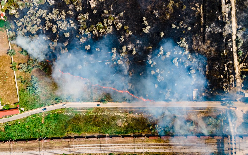
Real-time Intelligence, Surveillance, and Reconnaissance (ISR)
FireMapper InFlight provides emergency services agencies with comprehensive real-time intelligence, surveillance, and reconnaissance capabilities. By leveraging DJI Enterprise drones, personnel gain access to critical aerial insights, facilitating informed decision-making during emergency situations
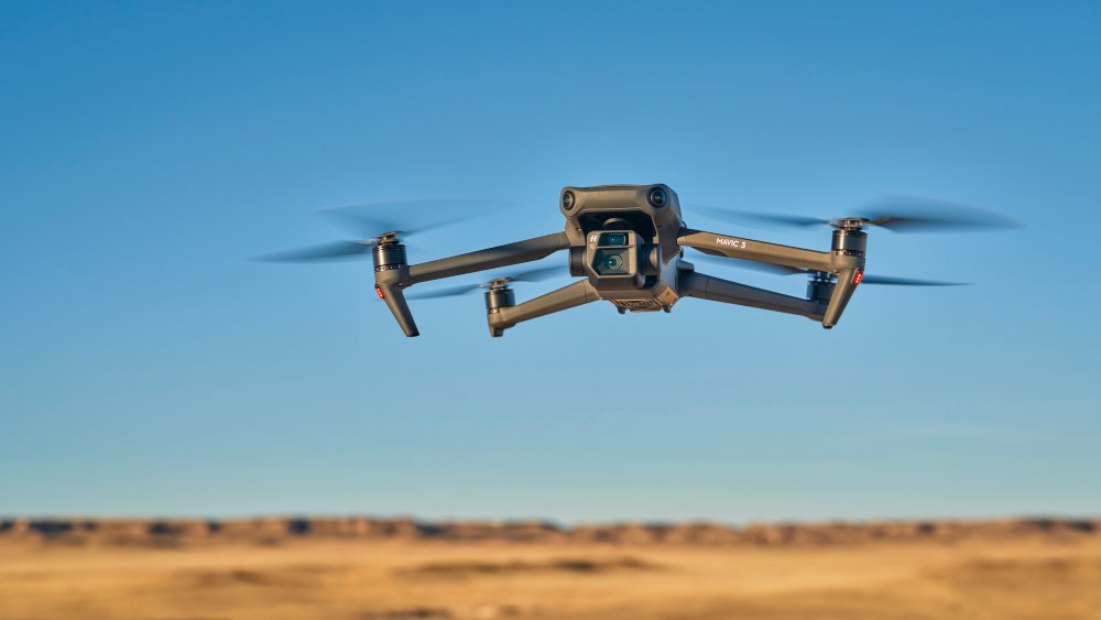
Seamless Integration with DJI Enterprise Drones
FireMapper InFlight integrates seamlessly with DJI Enterprise drones, streamlining the data collection process. From capturing high-resolution imagery to mapping out crucial details such as fire edges and perimeters, FireMapper InFlight gets information from the air and into the hands of your FireMapper users efficiency and and quickly.
Enhanced Mapping Capabilities
With FireMapper InFlight, pilots can capture detailed aerial imagery, annotate points to identify spot fires or assets, and delineate lines to map out fire edges, perimeters, and operational routes. These enhanced mapping capabilities provide precise and actionable information for effective emergency management.

Live Drone Location Tracking
FireMapper InFlight includes live drone location tracking functionality within the FireMapper suite of tools. This feature enables real-time monitoring of the drone's position, available to all FireMapper users.

Learn more about FireMapper InFlight
Discover how FireMapper InFlight can contribute your agency's emergency response capabilities. Contact our team today to learn more about integrating InFlight into your existing FireMapper subscription.

Contact us
To find out more information or to arrange a demonstration please send us a message.